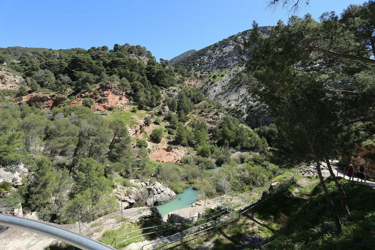
El Chorro. Gaitanejo dam (Presa del Gaitanejo)
Royal Route trail begins at the hydroelectric Gaitanejo (Gaitanejo Centrale map), which is a monument of engineering and industrial architecture.

Gaitanejo Dam was built in the course of the Guadalhorce river a few hundred meters above the gorge Gaitanejo in 1927, a Hydroelectric company El Chorro (Compañía Hidroeléctrica del Chorro). This hydro - continuation of the project "Three dams", developed by engineer Raphael, Benjumea in 1913. The dam forms a reservoir Gaitanejo, with a volume of 4 million cubic meters and an area of 23 hectares. Operating level of the reservoir 302 meters above sea level, it collects in rivers, the Turon, Guadalteba and the Guadalhorce, as well closed above the dams. The total basin area of all three rivers is 1725 square kilometers.

in spite of such a catchment area, reservoir and dam Gitaigo does not make the impression how the higher structures, as most of the water stored there.

Total height of 34 meters, 20 of them create the difference in levels, and accounts for 14 embedded in the rock Foundation. The dam is of the arch, transmitting the pressure of the water on the banks of the gorge.

This type of dam requires much less material than conventional (gravity dam).

Project dam Gaitanejo was recognized as innovative at the global level.
