El Choro. Valley Gaitanejo
On our way lies along a mountain valley Gaitanejo formed by the river Guadalhorce.
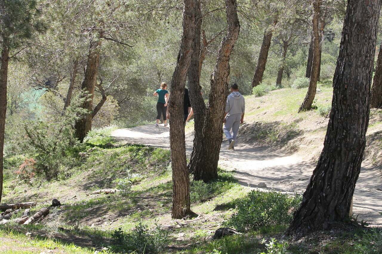
Index reports that prior to the checkpoint on the Caminito del Rey is still 1.8 kilometers.

my reservation indicates the time of the visit 13:30, it's 12:35, it seems to be time enough...

of Course, you can go this distance in twenty minutes.

If at every step had to grab this camera cannot charge after seeing this picture.

We began our journey much above the level of the reservoirs, as I described in previous articles.

And now the road leads all the way down.

Down to the bottom of the mountain valley.

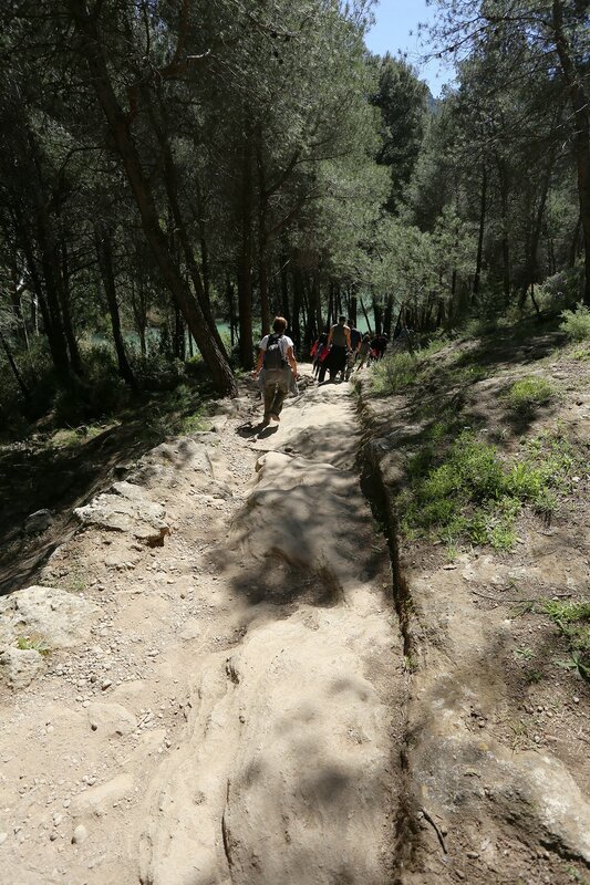
in some Places the trail goes right through the limestone rocks.

Pressed water flows...and maybe the soles of tourists.
At the bottom of the valley, a curved letter S, green water Gaitanejo.

Meanwhile, the path led down to the water.

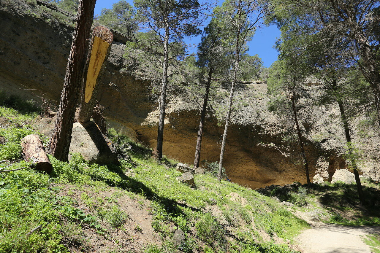
And you can see the top of the cliff, forming a visor.

rock on the slopes of the valley are not durable, limestone, Sandstone, and thousands of flood, the river washed away their Foundation, forming canopies.

Under a rock, you can see some stone ruins, about their origin nothing is known.

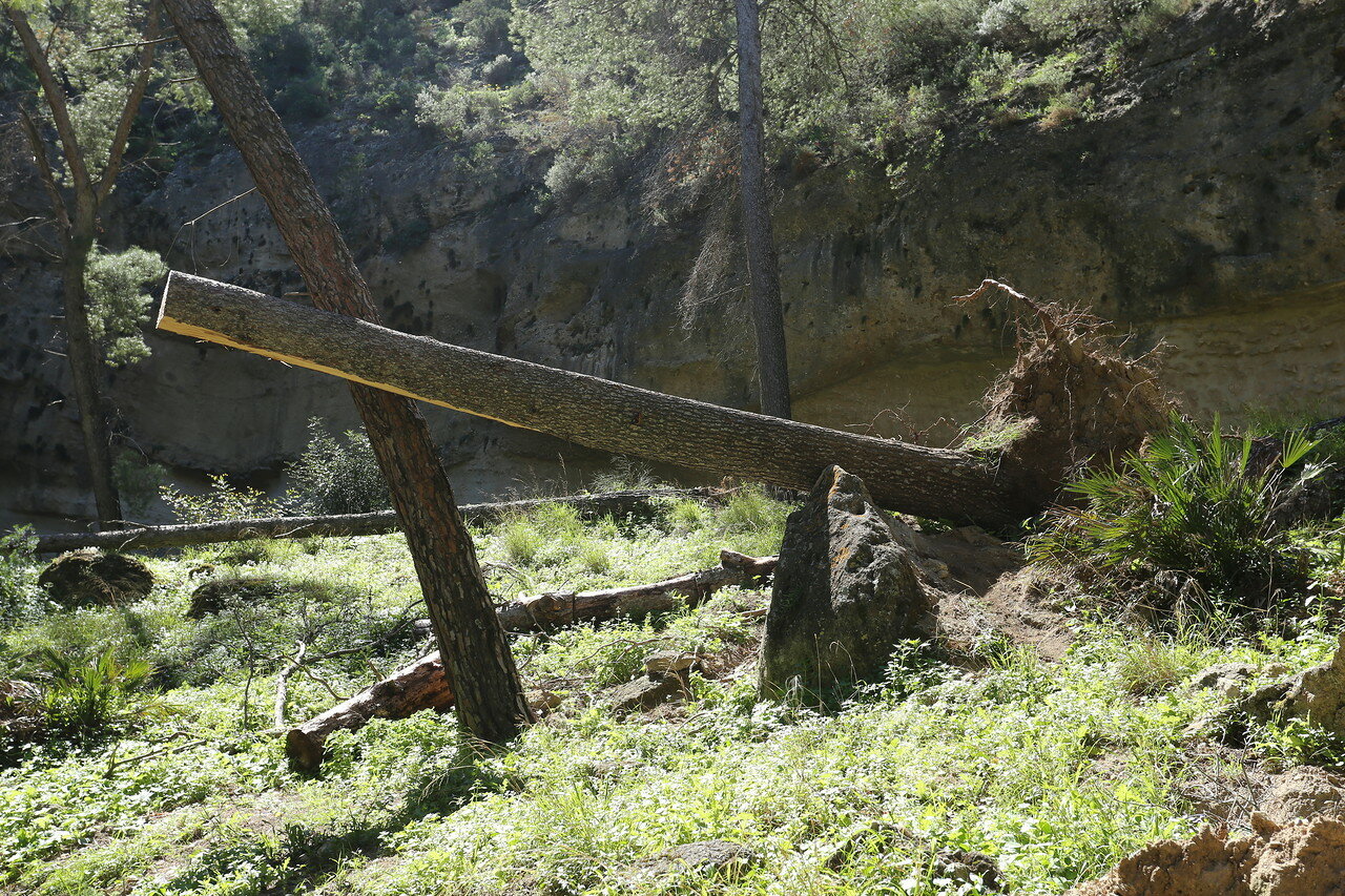
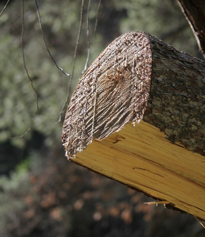
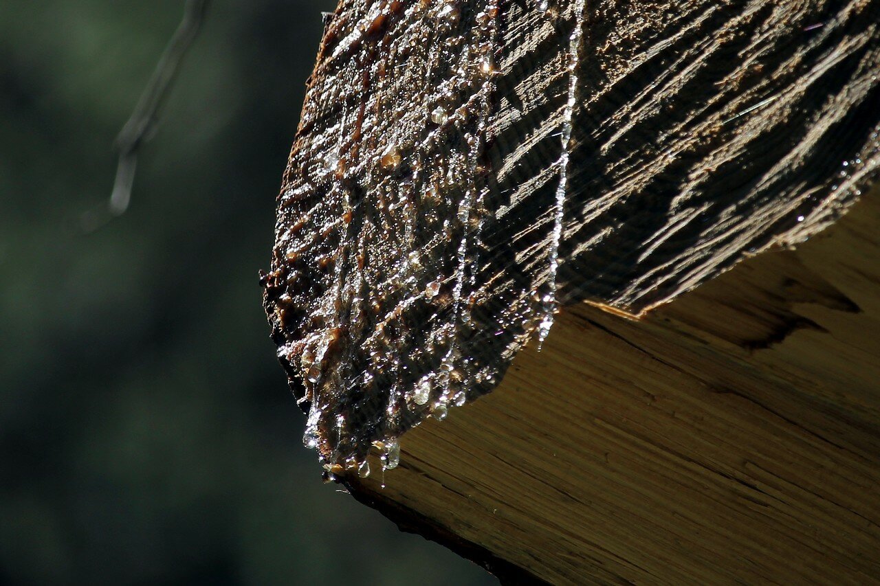
clean Path is cleaned from old trees is concern about the safety of tourists.

the twisted pine recent hurricane.
Reservoir formed by the Guadalhorce river begins at the confluence into it of the rivers Turon and Guadalteba.

three rivers blocked by dams regulating the flow, and after them the Guadalhorce does not like the treacherous mountain stream, brought in the rainy season a lot of disasters.

Now this quiet pond is sometimes called the Pantano (swamp) de Gaitanejo.

If the Bank Gaitanejo view to the South-West, we see mount Pico de Cueva (Mountain caves), the slopes of which are numerous caves.
