By Ferry Along the Helsinki South Harbor
Early in the morning, our ferry from Stockholm arrived in Turku, and in a couple of hours we were already in Helsinki. It was still 6 hours before we boarded the Princess Mary, and we set off for Suomenlinna Fortress. The fortress is located on islands about two kilometers from the city center and the easiest way to get there is by ferry, which departs from the Market Square (Kauppatori) every 15 minutes in summer and every hour in winter. During the summer season, there are also many small pleasure boats that offer water excursions to the coastal islands of Helsinki.
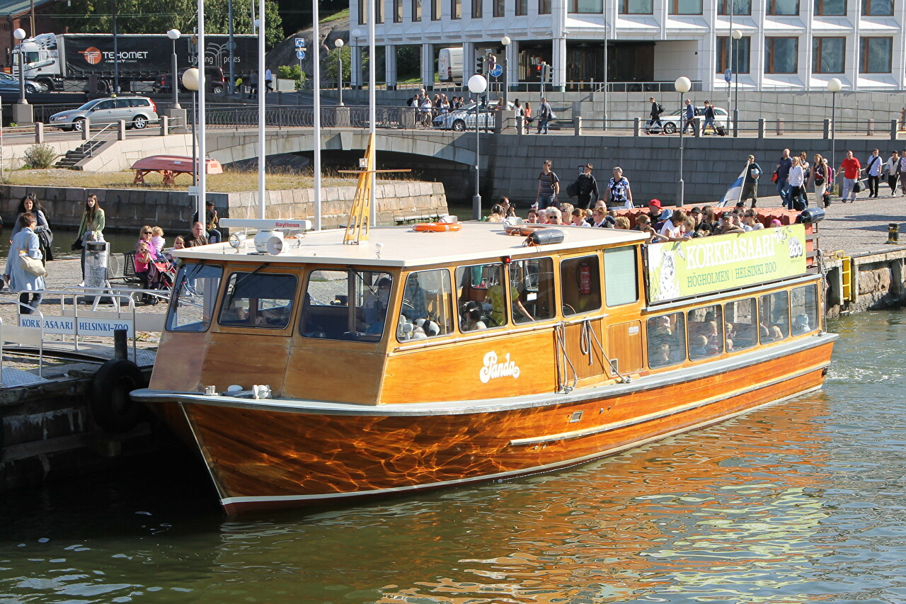
Kauppatori Square lies deep in Eteläsatama Bay, which translates from Finnish as South Harbour. Along its banks are the oldest districts of Helsinki.
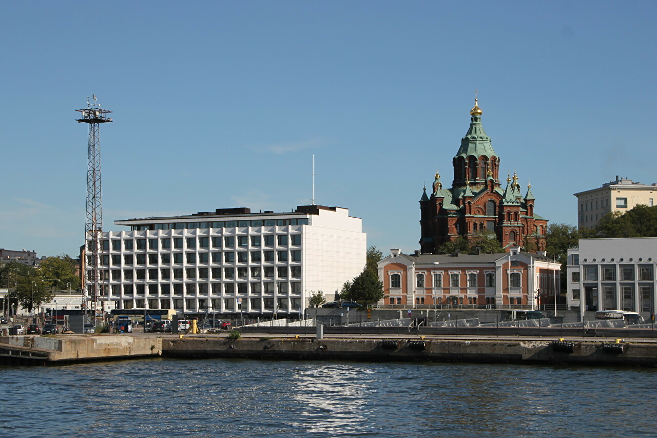
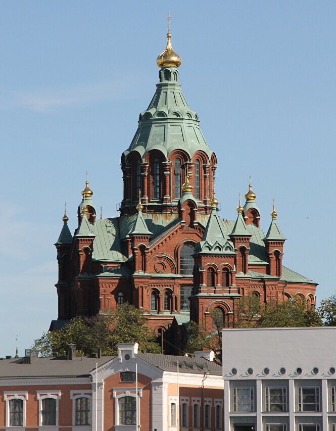
To the left of the ship, you can enjoy a view of the island of Katayanokka, which is dominated by the Assumption Cathedral.
To the right of po is the Kaartinkaupunki district, which during the Swedish rule was called Gardesstaden (Garrison Town). The area began to be built up in 1812, and in 1822 the Guards barracks (Gardeskasernen) was built here, which gave the name to the area. Along the bay runs the Eteläranta embankment (South Bank), where we can see the Kauppahalli indoor market building, built in 1888, closed for restoration. Behind the market you can see the Art Nouveau building, built in 1906.
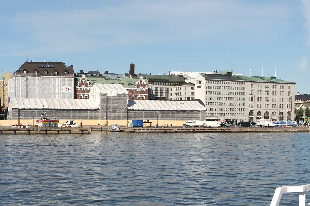
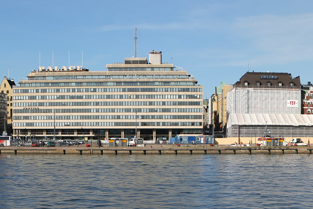
Dominating the waterfront, the four-star Palace Hotel was built for the 1952 Olympic Games. In the upper floors of the building, you can see the silhouette of a ship with a chimney and a mast.
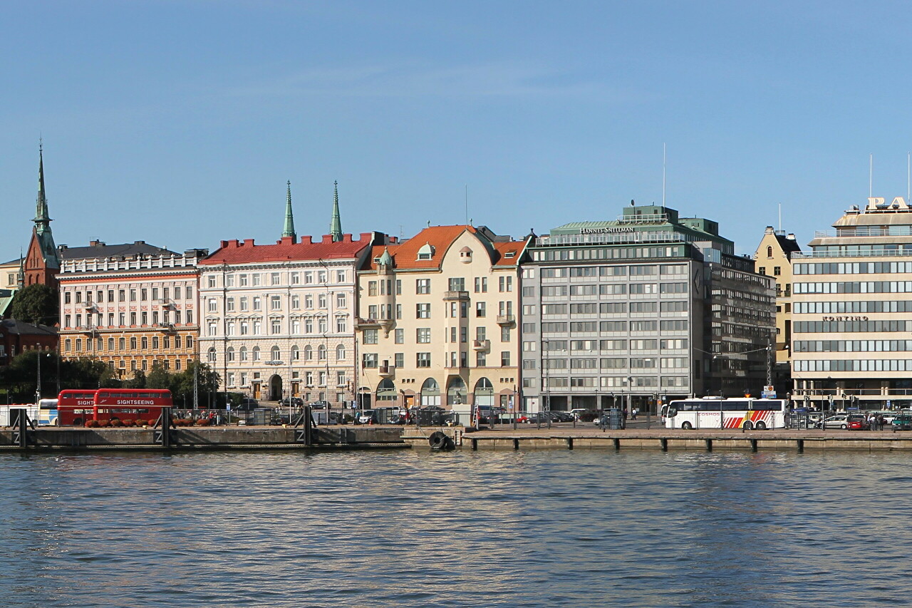
Then we see a block of KOy Oulu shopping center, built in 1955 and three houses of classic architecture of the eighties of the nineteenth century. Above the roofs are two spires of St. John's Church. On the left, you can see the spire and part of the facade of the Lutheran Evangelical German Church.
Then the Ulanlinna area begins, a significant part of which is occupied by the green massif of the Observatory Park (Tähtitornin vuori).
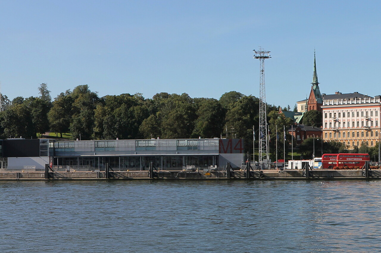
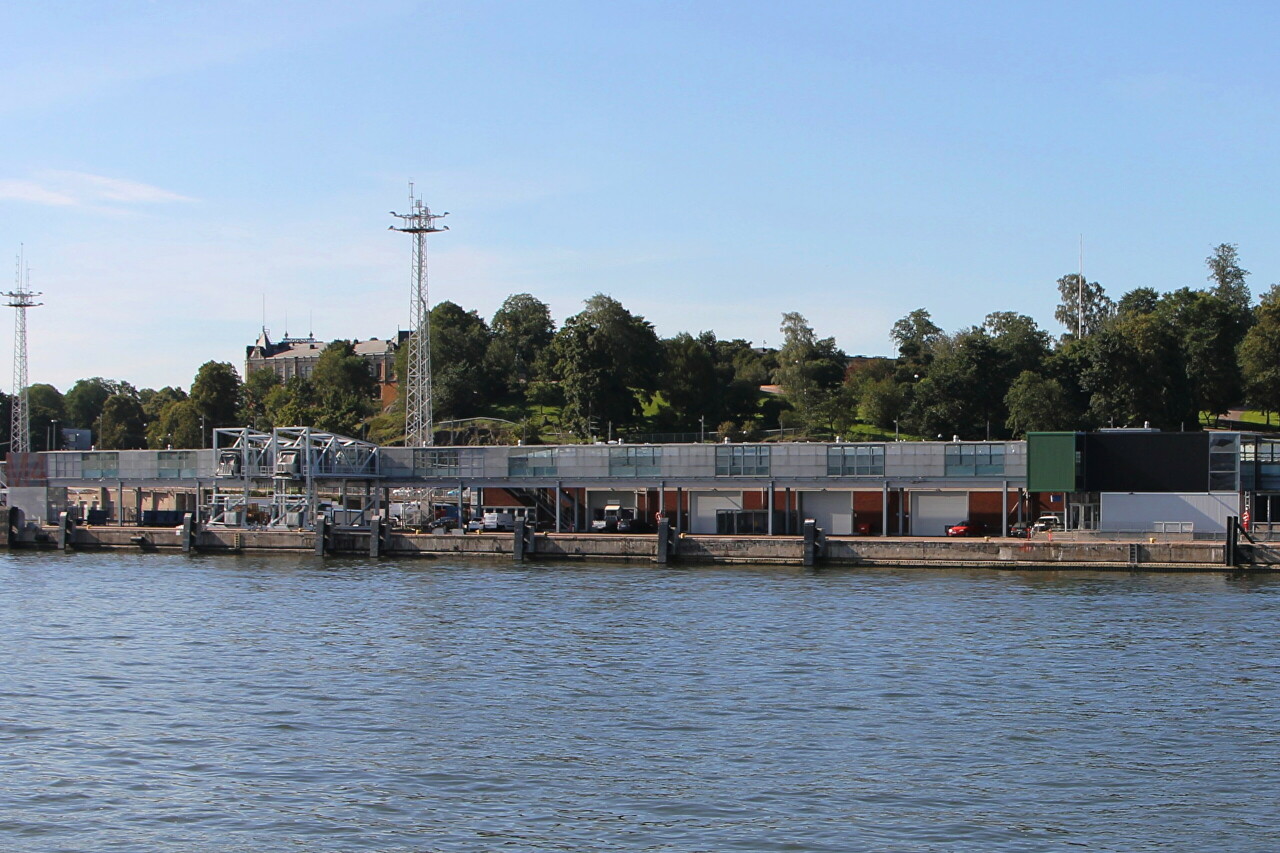
On the shore, in front of the park, for the 1952 Summer Olympics, the Olympia ferry terminal was built. Now Silja Line ferries of the regular Helsinki-Stockholm line are moored here.
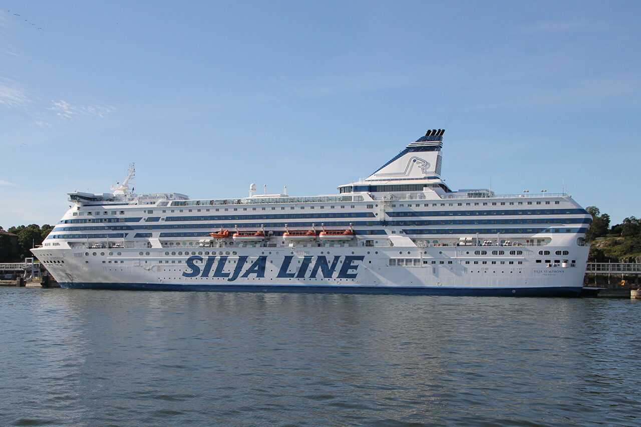
The ferry Silja Simphony, built in 1991, is located at the pier. The company became a trendsetter in cruise ship design, building two similar ferries, Serenade and Simhony, with an internal promenade along the entire length of the superstructure.
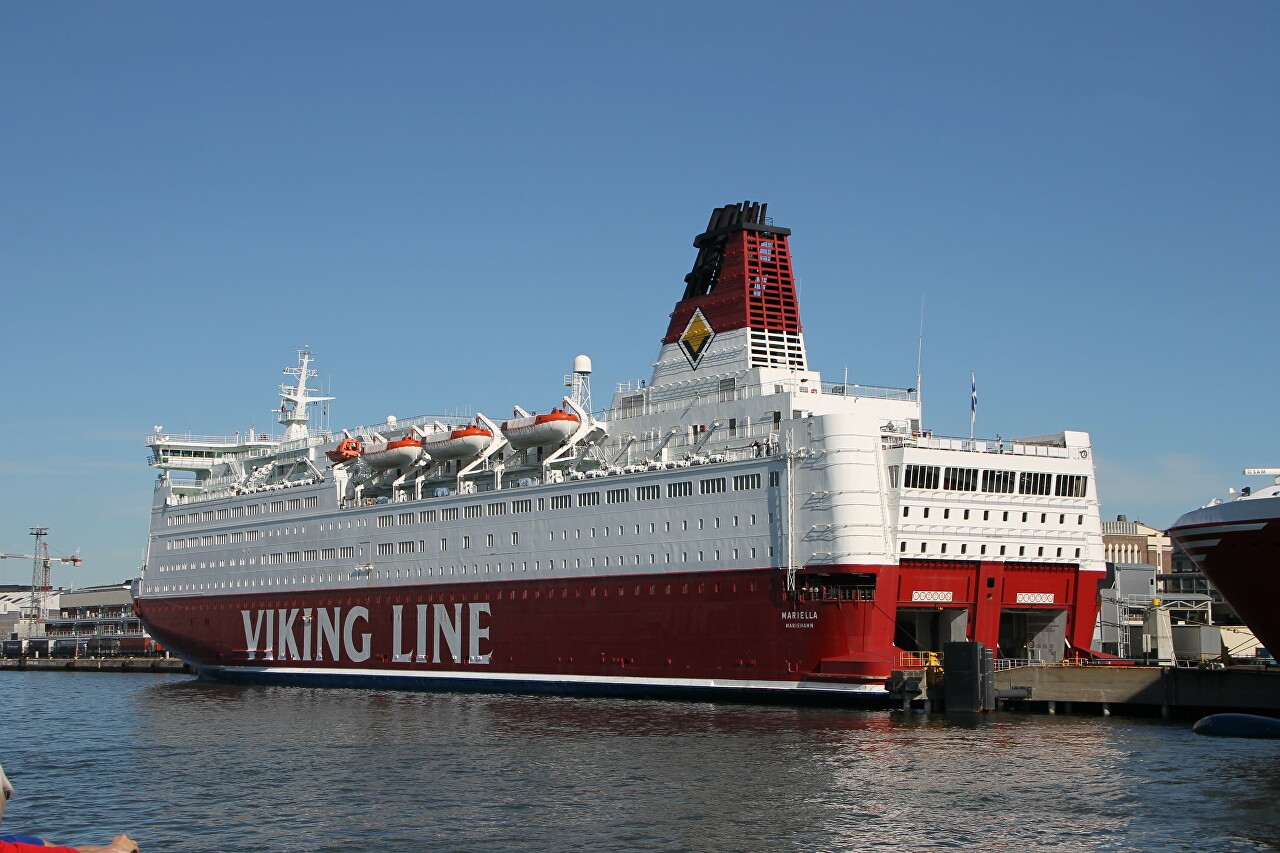
On the other side of the bay, at the southern tip of Katayanokka Island, there is a ferry terminal of the same name, owned by Viking Line. Ferries operating to Stockholm and Tallinn are moored here.
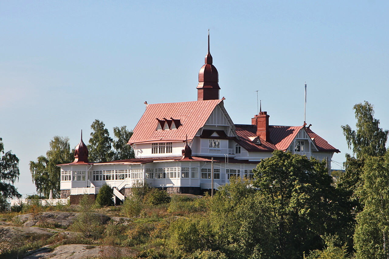
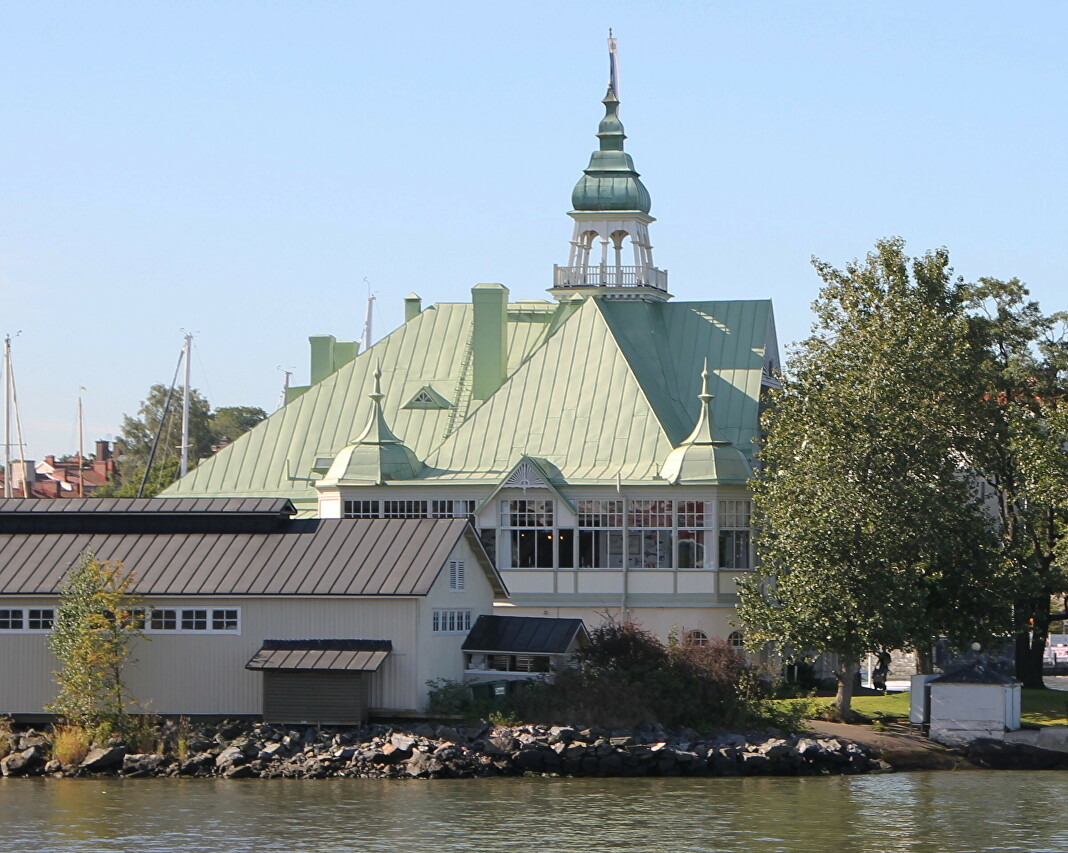
There are two islands at the mouth of the bay. Valkosaari Island (Swedish Blekholmen, White Island). The NJK Yacht Club is based here, bringing together more than 2,500 sailing enthusiasts. The club was established in 1861 and its charter was signed by Emperor Alexander II. The country-style building dates back to 1900 and houses a seafood restaurant.
Nearby is the rocky island of Luoto, separated from the mainland by a strip of water about a hundred meters wide. Surprisingly, it is here that the fairway passes, along which orgome ferries go to the Olimpia terminal.
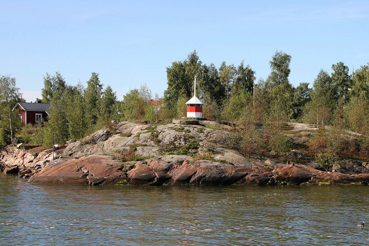
In the center of the island is a wooden villa built in 1898 by architect Selim A. Lindqvist. Now it houses the prestigious Klippan restaurant (Cliff).
